library(ggplot2)
library(ggspatial)Adding a scale bar and north arrow to ggplot2 maps
tips
R
map
Using ggspatial package
One of the easiest way to add standard spatial reference elements, like a scale bar and a north arrow, into a map in R is with the ggspatial package.
Here is a quick example mapping the Commonwealth of Virginia, US.
Step 1: Load the required packages
Step 2: Plot the Commonwealth of Virginia, US
map <- ggplot() +
        geom_sf() +
        # sets geographic coordinates (Lat/Long in degrees)
        coord_sf(crs = 4326) +
        borders("county", regions = "Virginia", colour = "deepskyblue2") +
        labs(title = "Virginia, United States\n") +
        theme_void() +
        theme(plot.title = element_text(hjust = 0.5))
map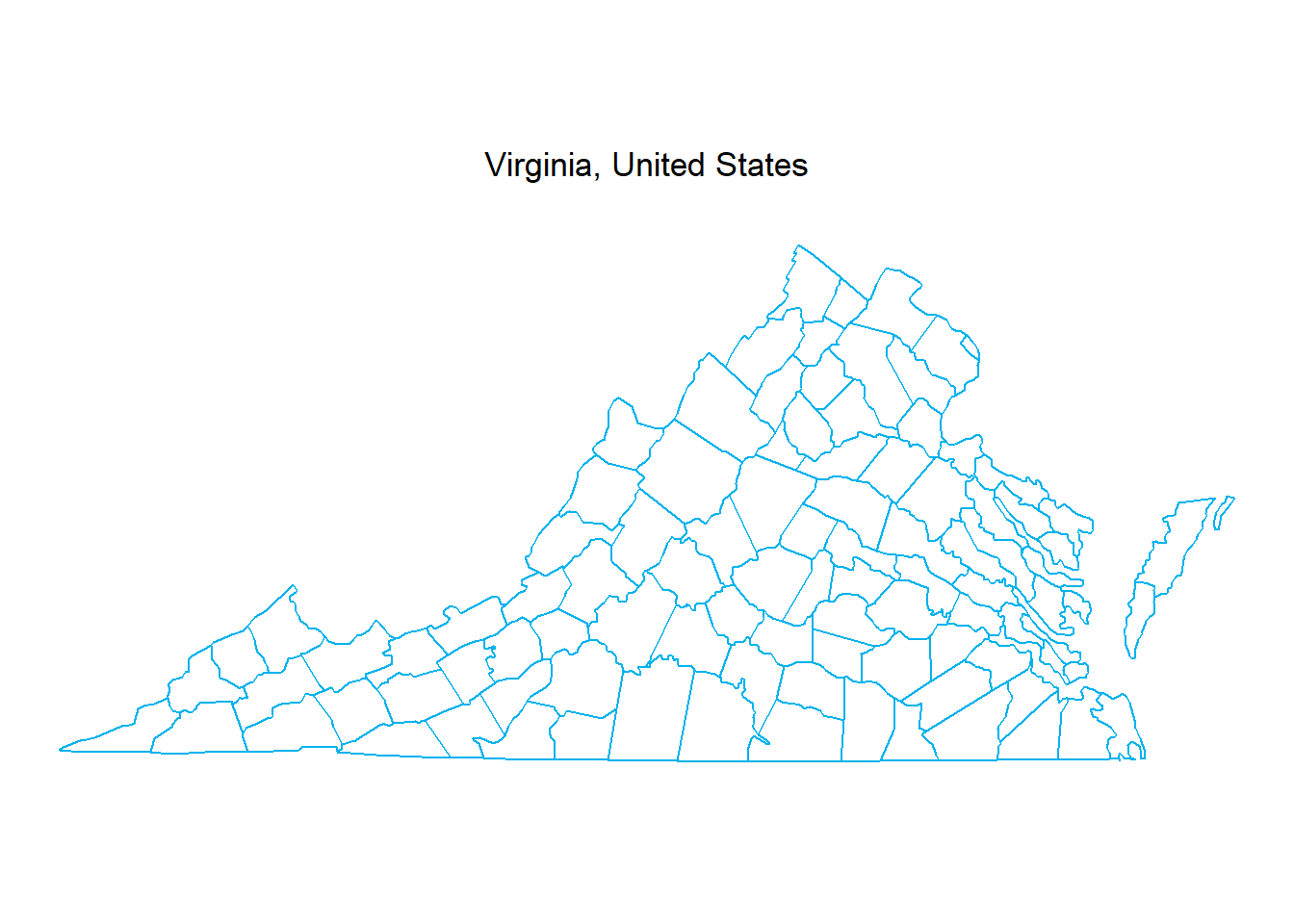
Step 3: Add a scale bar
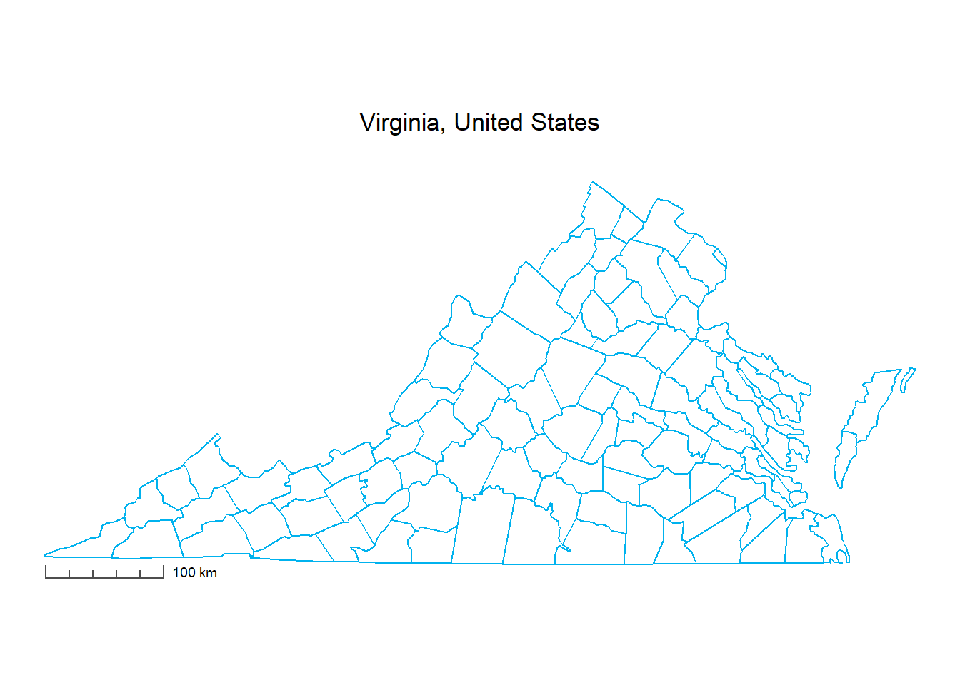
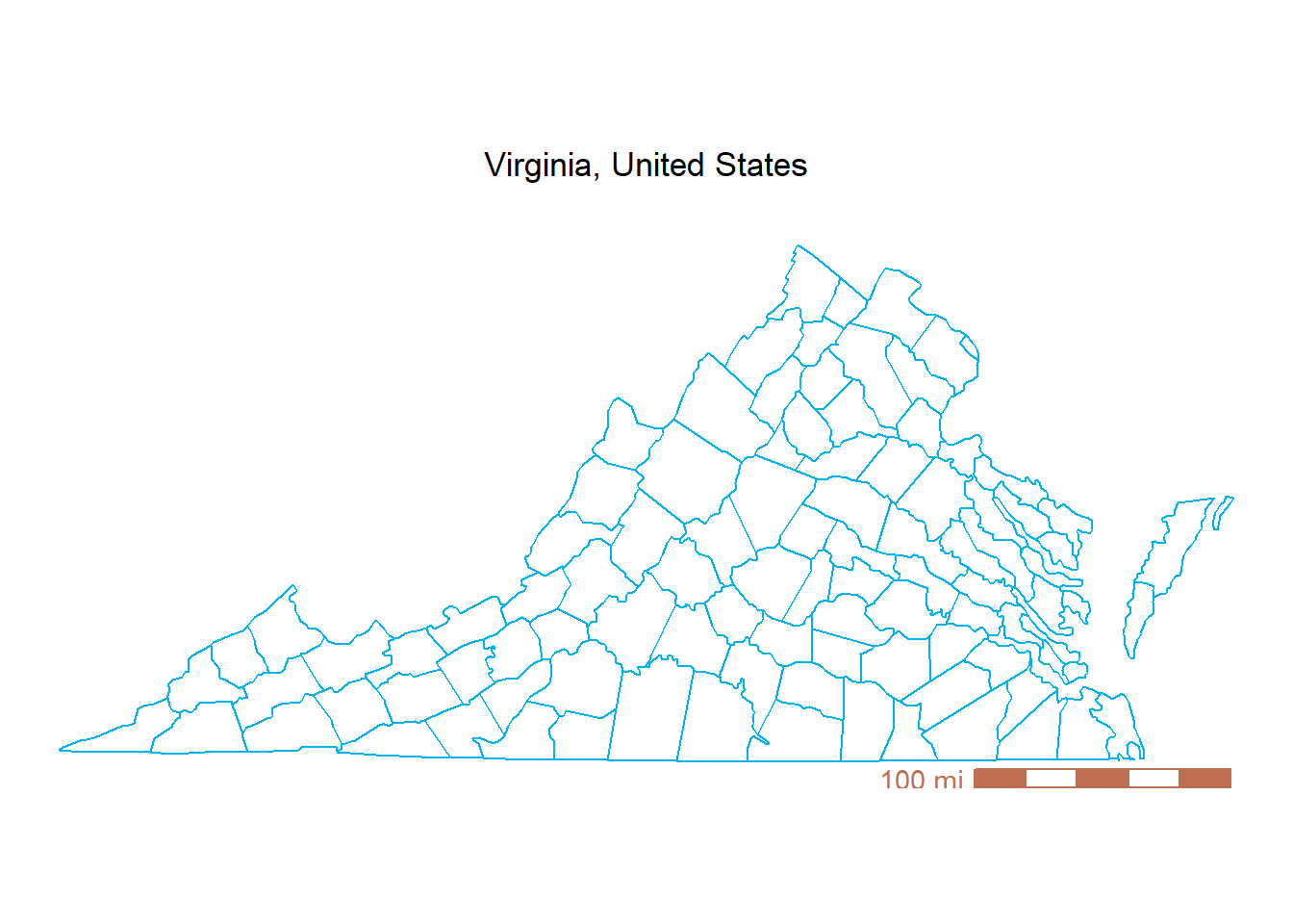
We can add a scale bar using annotation_scale() function from ggspatial package.
Here are a few key arguments for customizing the scale bar:
location: where to place the scale bar (“bl” for bottom-left, “tr” for top-right, “tl” for top-left, or “br” for bottom-right).style: visual style of the bar, such as “ticks” or “bar”.unit_category: specify measurement units using “metric” or “imperial”.
Run ?ggspatial::annotation_scale in the R console for full parameter details.
# --- Option 1: Metric scale bar (bottom-left) ---
map +
  ggspatial::annotation_scale(
    location = "bl",           # position: bottom-left
    width_hint = 0.2,          # proportion of the plot area the scalebar should occupy (20%)
    unit_category = "metric",  # units: "metric" (km/m)
    style = "ticks",           # visual style: "ticks"
    pad_x = unit(0.85, "cm"),  # horizontal padding from the map border
    pad_y = unit(0.1, "cm"),   # vertical padding from the map border
    line_col = "grey30",       # color of the scale line and tick marks
    text_cex = 0.6             # text size
  )
# --- Option 2: Imperial scale bar (bottom-right) ---
map +
  ggspatial::annotation_scale(
    location = "br",           # position: bottom-right
    width_hint = 0.3,          # proportion of the plot area the scalebar should occupy (30%)
    unit_category = "imperial",# units: "imperial" (mi/ft)
    style = "bar",             # visual style: solid "bar"
    pad_x = unit(0.85, "cm"),  # horizontal padding from the map border
    pad_y = unit(0, "cm"),     # vertical padding from the map border
    bar_cols = c("#BD6E53", "white"), # bar color
    line_col = "#BD6E53",      # line color
    text_col = "#BD6E53",      # text color
    text_cex = 0.9             # text size
  )
Step 4: Add a north arrow
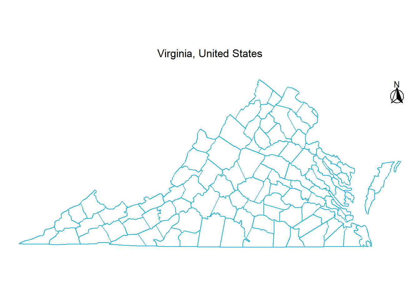
A scale bar tells the readers how far, but a north arrow tells them which way. We can easily add one using ggspatial::annotation_north_arrow().
Here are the main arguments to customize the north arrow:
location: where to place the arrow (“bl” for bottom-left, “tr” for top-right, “tl” for top-left, or “br” for bottom-right).which_north: sets grid north (“grid”) vs. true geographic north (“true”)style: chooses the visual design of the arrow. Options include:- north_arrow_fancy_orienteering (a classic, detailed compass rose)
- north_arrow_orienteering (a clean, standard compass needle)
- north_arrow_minimal (a simple, sleek “N” with an arrow)
- north_arrow_nautical (a classic nautical compass rose with multi-directional points)
Run ?ggspatial::annotation_north_arrow in the R console to explore additional styling features like colors and text parameters.
# --- Option 1: Fancy orienteering (top-right) ---
map +
  ggspatial::annotation_north_arrow(
    location = "tr",                                      # position: top-right
    which_north = "true",                                 # align to true geographic north
    height = unit(0.95, "cm"),                            # height of the symbol
    width = unit(0.95, "cm"),                             # width of the symbol
    pad_x = unit(0.5, "cm"),                              # horizontal spacing from right border
    pad_y = unit(0.5, "cm"),                              # vertical spacing from top border
    style = ggspatial::north_arrow_fancy_orienteering     # detailed compass rose
  )
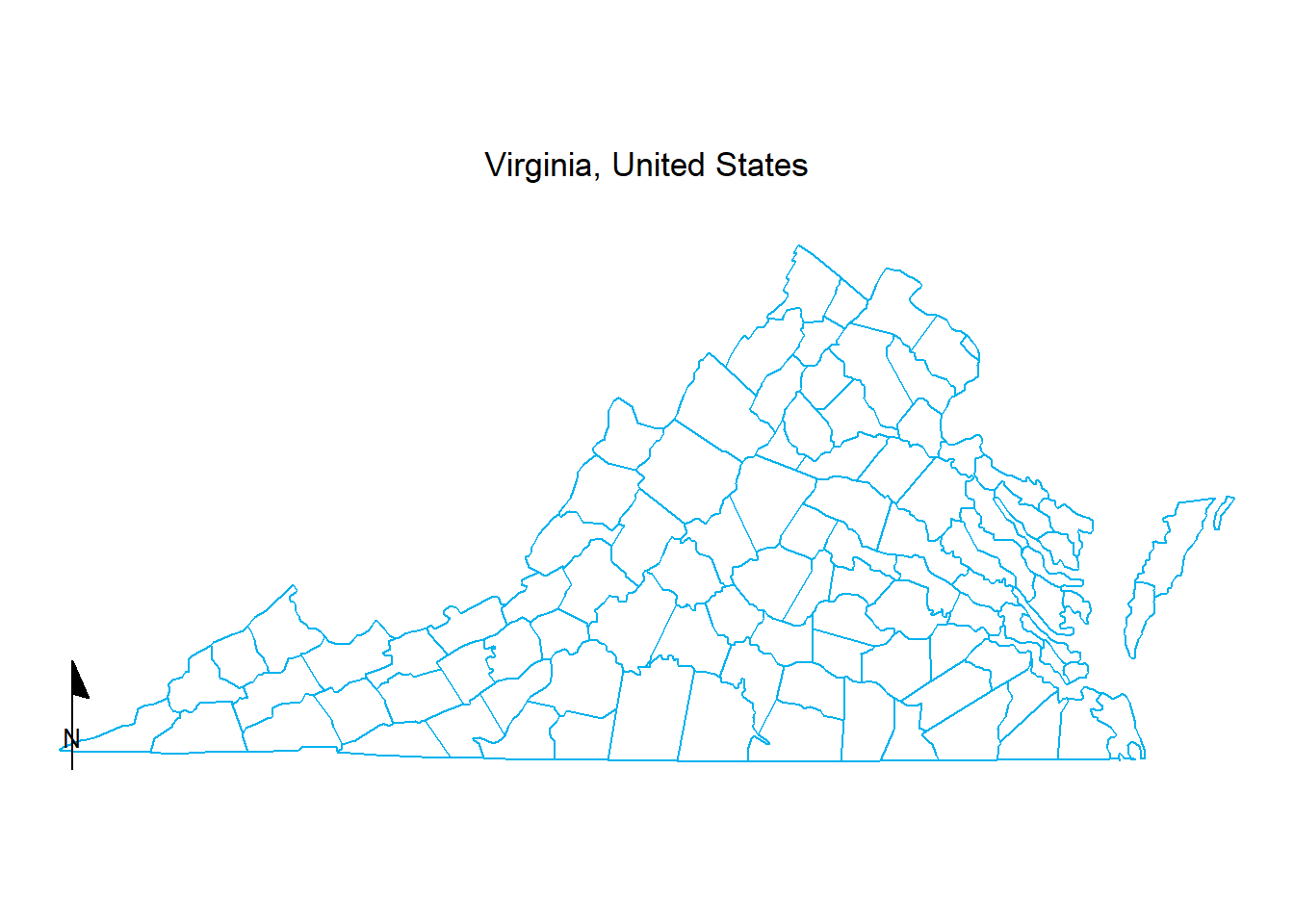
# --- Option 2: Minimal style (bottom-left) ---
map +
  ggspatial::annotation_north_arrow(
    location = "bl",                # position: bottom-left
    which_north = "grid",           # north arrow always pointing up
    style = north_arrow_minimal     # simple, sleek "N" with an arrow
  )
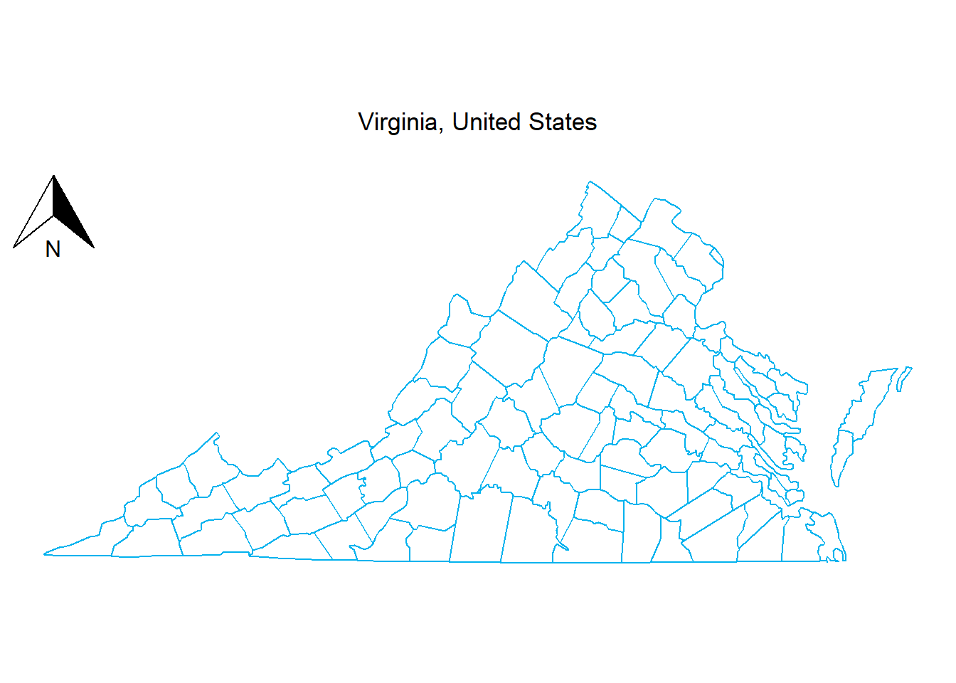
# --- Option 3: Standard orienteering (top-left) ---
map +
  ggspatial::annotation_north_arrow(
    location = "tl",                     # position: top-left
    style = north_arrow_orienteering     # standard compass needle
  )
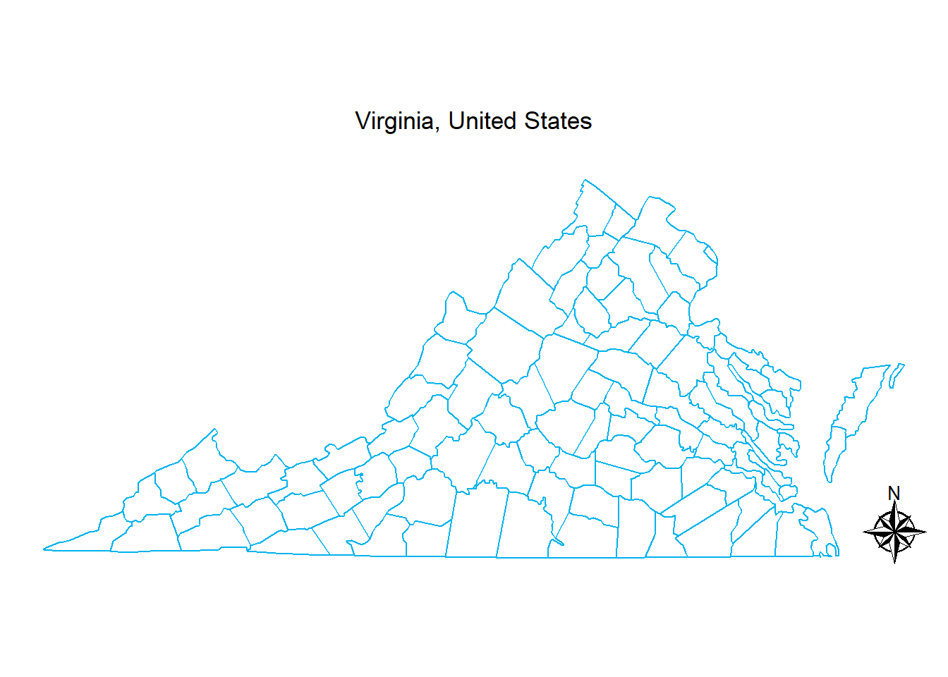
# --- Option 4: Nautical compass (bottom-right) ---
map +
  ggspatial::annotation_north_arrow(
    location = "br",                 # position: bottom-right
    style = north_arrow_nautical     # classic nautical compass rose
  )
Further information
ggspatialpackage